Ground Control Points
Ground Control Points (GCPs) are necessary for accurate data because they tie your imagery to a known, identifiable, measured coordinate.
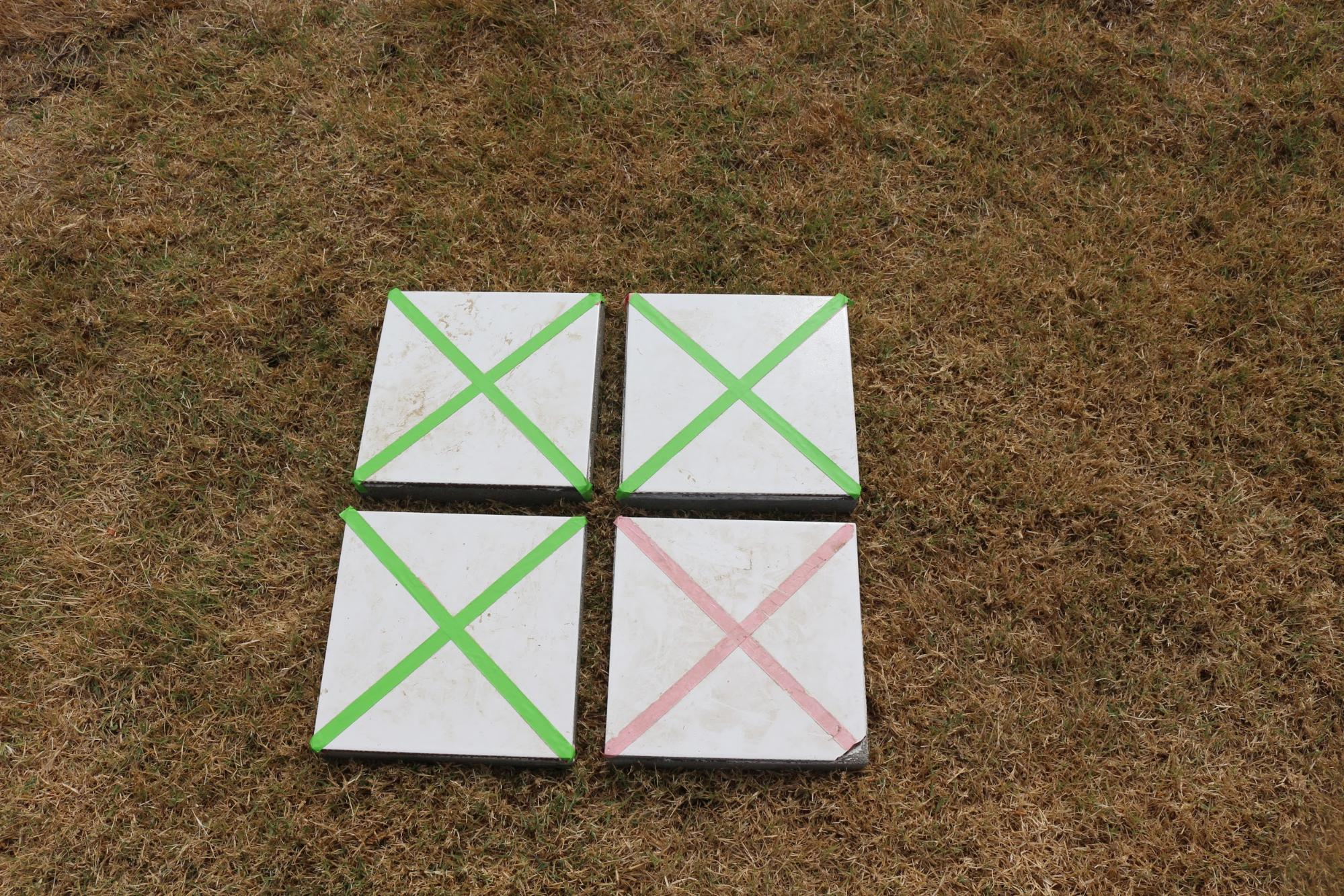
- If necessary put out GCPs. These should be easily identifiable from the air and if applicable, differentiable.
- 9 is the recommended minimum
- Turn on GPS and then turn on Blu Bluetooth. It should connect automatically. See GPS Guide to check for pairing and connecting
- Check connection using the GNSS App and view detailed status report
- Place GPS on top of the center of the Ground Control Point
- Open KoBoColllect app. Click the three dots in the upper right side to access general settings. Check the URL. For more information see the KoBoColllect instructions
- From main screen click Get Blank Form and select GPSPhoto
- Then click Fill Blank Form and select GPSPhoto
- Click Record Location.Wait for Phone to collect location. Swipe right to get to the next screen.
- Take a photo of the GCP - Name the photo as the Ground Control Point Identifier. Fill in all relevant fields of the form.
- Repeat for every GCP in your study area. You are creating a form that should have the location and a photograph of every ground control point.
- When phone is online, click Send Finalized Form to upload your data.
- Download the data as a csv file from KoBo to get a list of coordinates and names.